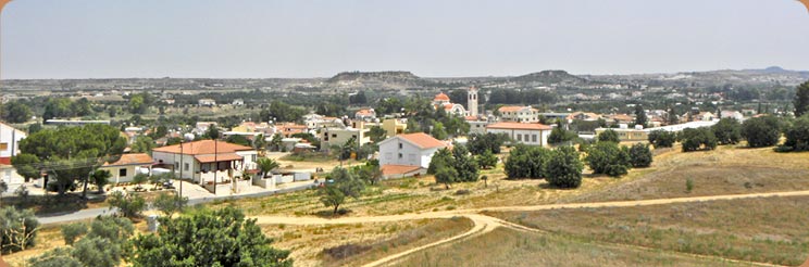
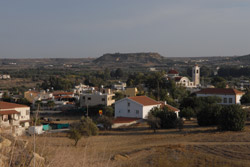
The Community of Ergates is the 13th largest community in the Nicosia District, having about 1,600 inhabitants and located only 17 kilometres south-wet of Nicosia, in the geographic region of Mesaoria. The village is built on the west bank of the river Pediaios (or Pidias), at an average altitude of 340 meters. The landscape of its territory is fragmented by the watercourse network f the Pediaios river.
The average annual rainfall in the community ranges around 360 millimetres; cereals, vegetables, forage plants, a few olive trees, and some fruit-trees, such as apricot and fig trees, are cultivated in the region. The irrigated areas are located between the main road Ergates -- Anageia, Ergates -- Episkopeio and the river Pediaios. A small-scale irrigation plan was applied in the region, utilising the water of the river as well as local drillings.
The community's linkage to the outside world via road is quite good. In the north it connects with the community of Anageia (2,5 km) and through it to the city of Nicosia. In the south it connects to the community of Episkopeio (1,5 km) and in the east with the community of Psimolofou (1 km). In the west it connects to the Industrial Zone and -through it -to the interurban Nicosia -- Palaichori road.
The population of Ergates steadily increased from 1881 until today. The urban pull phenomenon that hit most of Cyprus's communities -from 1946 and especially from 1960 and on -did not affect the community of Ergates at all. The relatively small distance from the Capital, its decent road connection with it, and the job opportunities in its region contributed to this. In 1881 Ergates had 218 inhabitants, increasing to 234 in 1891, to 262 in 1901, to 293 in 1911, to 354 in 1921, to 378 in 1931, to 431 in 1946, to 637 in 1960, and to 812 in 1973. With the settlement of refugees from the occupied part of Cyprus, after the 1974 Turkish invasion, the inhabitants of Ergates increased to 1044 in 1976 and to 1121 in 1982. In the last 2001 census the inhabitants of the village numbered 1857.
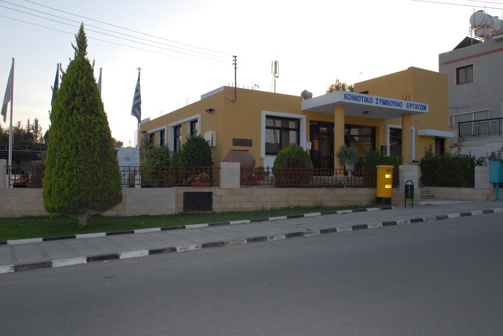
The community has developed important activity in the social and financial sector and has become a model-community for the surrounding region. |